Blog
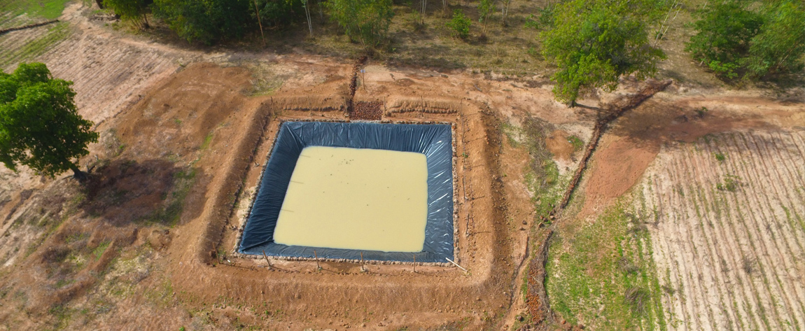
Des drones pour la cartographie des aménagements hydro-agricoles au Burkina Faso
L’Afrique connait de nouvelles entreprises qui apportent des solutions cartographiques aux projets de développement et aux petits agriculteurs. Cargitech Sarl fait partie des Bureaux d’études émergents au Burkina Faso et qui s’engagent à promouvoir des nouvelles technologies. Par son savoir-faire, Cargitech Sarl est spécialisé en Cartographie et dispose d’une large […]
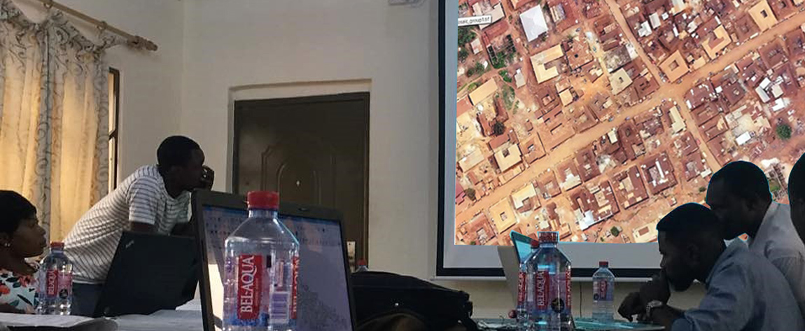
Beyond the Plan: Tapping the Potential of Drones for Urban Development
As urban areas continue to expand, with larger sizes and occupation densities, there is a need for local governments to ensure an orderly development process and manage the physical space and the environment. This entails the preparation and implementation of different types of development plans. While these are necessary to […]

Drones assessing crops in Zambia and Malawi to serve an insurance company
During the first half of 2019, iDrone Services Ltd. was part of a pilot initiative aimed at improving the provision of agricultural insurance for maize farmers in Zambia and Malawi. We supplied drone imagery data that helped estimate crop growth, and an agricultural insurance company used this information to compensate […]
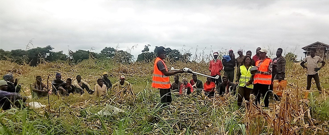
The use of drones for precision agriculture: a means to boost youth’s interest in agropastoral entrepreneurship in Cameroon
In Cameroon, the Agricultural Institute of Obala has introduced a module within its agricultural courses on the use of drones to improve farm productivity. The module teaches students about the potential of the technology to increase agricultural efficiency and reduce farm labour, with the aim of improving the image of […]
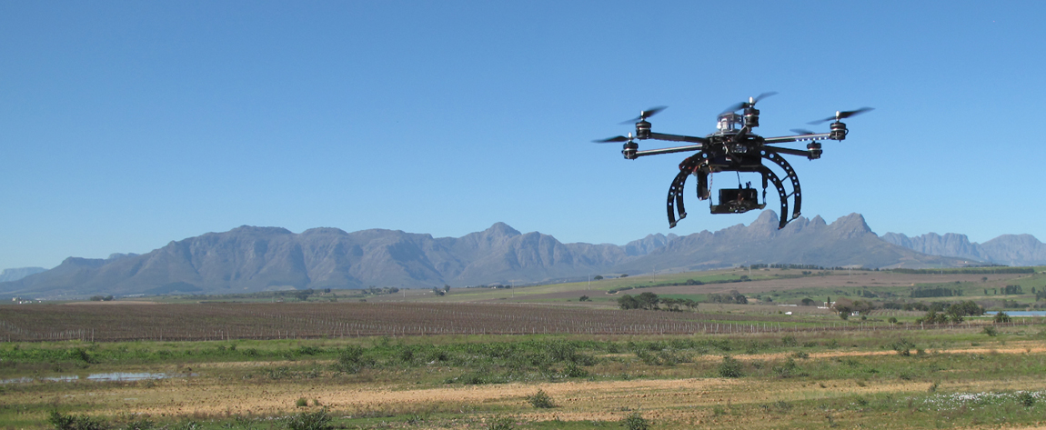
April 2016: ICT Update 82 on “Drones for Agriculture” was published | A ground-breaking legacy
“Drone technology could help farmers around the world monitor their crops, fend off pests, improve land tenure, and more. But to realise its full potential, regulatory regimes are necessary, while keeping citizens’ safetyand privacy rights secure“, this is how the editorial of ICT Update, a bimonthly magazine published by CTA, […]
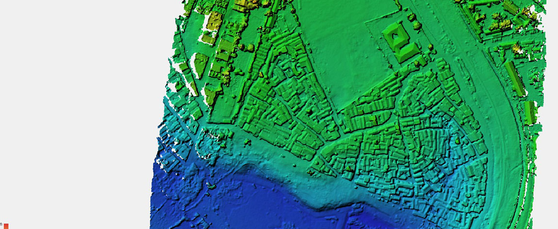
Mapping informal settlements in Kenya
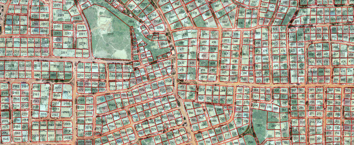
Maptech Consultants Ltd. is a Kenyan company that provides surveying and mapping services. Since 2017, we are using drones in our regular operations. One of our projects involved the mapping of an informal settlement called Kahawa Soweto, allowing local officials to use the high resolution images to aid them in […]
Drones demystified during a four-day training
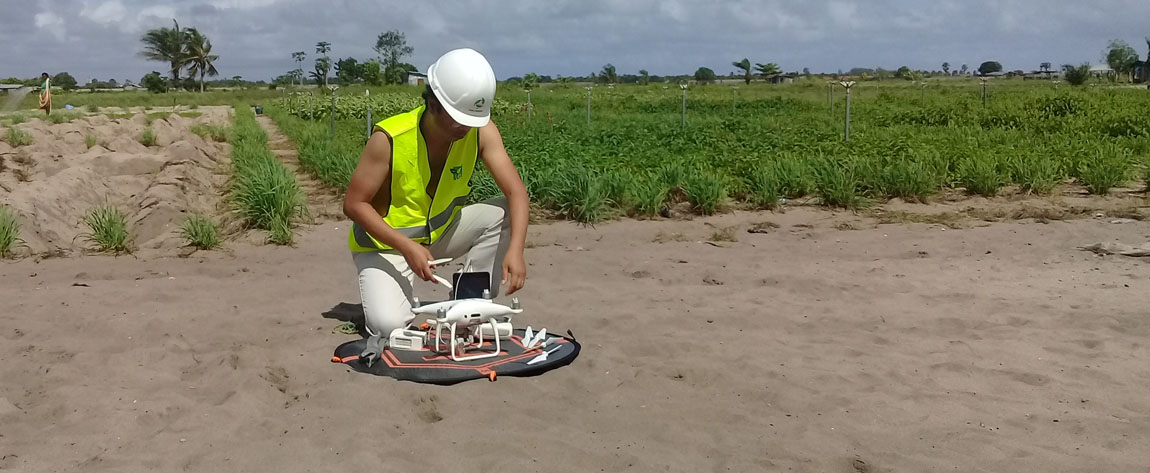
During a four-day training course on drones in Benin, in October 2019, participants learned about many new topics. The types of drones, associated software, the importance of drone-related regulations, the steps for conducting drone missions, and the many different ways in which drones can be used. Field practice and the […]
Using satellite Imagery and GPS for Resettlement Action Plan in Kano, Nigeria
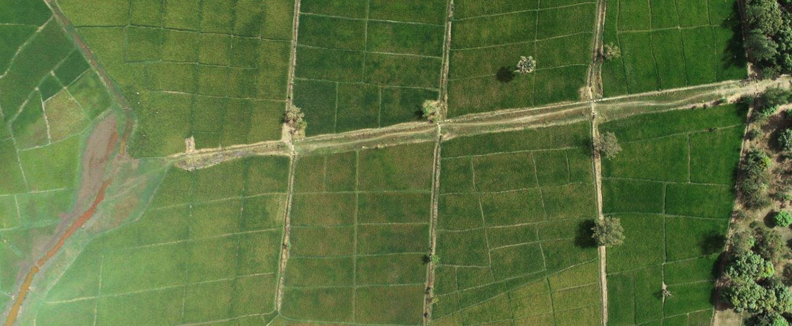
To help prepare a resettlement action plan, Geospatial Research Limited mapped farm plots, households and economic tree crops using GPS and satellite imagery in Kano State, Nigeria. For the first time in history, farmers in these areas saw the full size of their farms, something that allows them to access […]
