Tag: cadastre

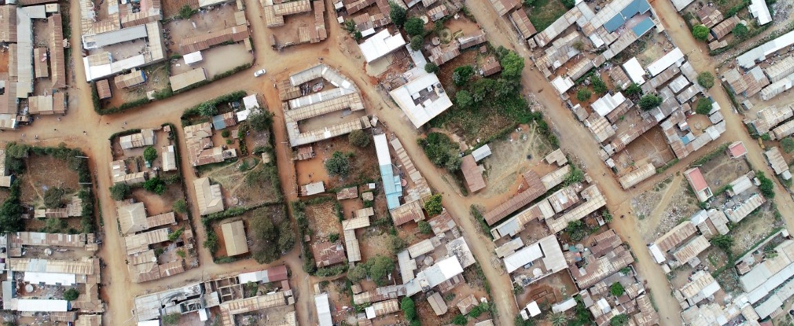
UAV Mapping for Informal Settlement’s Planning
Spatial information is an essential component for the planning of informal settlements. An accurate base map is required to provide a model of the current situation to aid in designing proposed improvement plans for the settlements. There are various sources of spatial information that can be used to generate base […]


