Site visit and demonstrations in Ghana
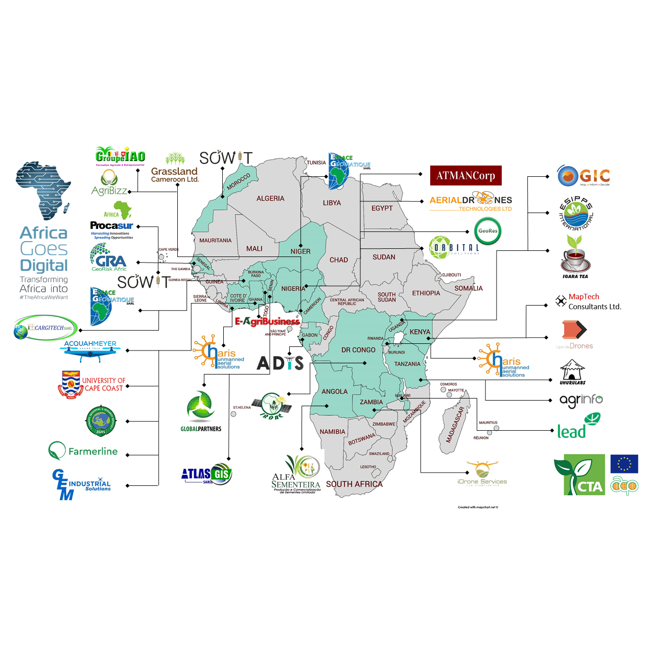
On 15 April 2019, ahead of the official launch of the Alliance for Green Revolution Forum 2019 (AGRF 2019), a range of applications of drone technology for agriculture have been showcased by members of Africa Goes Digital at Bomarts Farms Ltd, in Dobro, Nsawam, Ghana. About 20 Ghanaian and international journalists participated in the field trip together with representatives from AGRA and CTA. Bomarts Farms grows a range of fruit crops for export and demonstrations on drone-based crop diagnostics and crop spraying were done on pineapple fields by Acquahmeyer Drone Tech Ltd and Ziongate Geospatial and Research Services (ZGRS) Ltd, both Ghanean startup companies benefiting from CTA support.


Journalists capturing images of drones in action 
Acquahmeyer’s
representative interviewed by journalists
Acquahmeyer Drone Tech is a Ghanaian startup offering drone-based spraying services. Drones are programmed for executing their mission on a given flight path (e.g. a pineapple field). The drone carries a tank with agro-chemicals. The product is applied to crops in a precise manner, via very fine droplets, reducing human intervention and exposure risk to a minimum. The drones used by Acquahmeyer are designed in Germany and assembled in Ghana. The spraying drone has a 10 litre tank, with four spraying nozzles that can be adjusted to cover a spray width of 3 to 6 ft. The drone is fitted with high pressure pumps, that atomise water and oil-based pesticides in a form of a mist.
The drone sprays one hectare in 15 minutes. Because of the efficiency and precision of the drone, the farmer can save up to 50% fertilizer as compared to using the bag pack or the boom sprayer. The drone can be used to apply fertilizers, micronutrients, pesticides, fungicides, and herbicides.
Ziongate Geospatial and Research Services (ZGRS) Ltd. is a start-up which provides drone based crop diagnostic and documentation services. During the field visit, ZGRS demonstrated how drones equipped with multispectral sensors and analytic tools can be used on farms to obtain high resolution, georeferenced and actionable agronomic information to help farm managers make spot-on decisions on how to invest crop inputs (water, fertilizer, herbicide, pesticide etc.) to maximize productivity. Two different drone-based technologies were deployed for the demonstration, namely a Parrot Disco Pro Ag and a DJI Phantom 4 pro.
The first one, being a winged drone equipped with a Sequoia multispectral sensor. Thanks to its sensor, this drone can take both multispectral and RGB high resolution georeferenced imagery. Multispectral imagery is analysed using specialised software to produce crop diagnostic maps, crop inventories, etc
Specifically, ZGRS demonstrated how the Parrot Disco Pro Ag works, beginning with safety checks, flight planning, launching, and data acquisition to processing of raw data (high resolution georeferenced aerial images) into meaningful or actionable products such as the Normalized Difference Vegetation index (NDVI) map, as an example. This index shows the health of crops and the ground vegetation which the farmer can use to identify the various stress areas or even the diseased part of the crop.
Additionally, ZGRS demonstrated how the DJI Phantom 4 pro with its high-resolution camera could be used for crop scouting. The copter is equipped with a high resolution camera and which can take both georeferenced still RGB pictures and high resolution footage. Imagery captured with the drone can be used to generate composite images (orthomosaics) and also digital elevation models of the landscape.
Both Acquahmeyer Drone Tech Ltd and Ziongate Geospatial and Research Services Ltd. are associated to the Technical Centre for Agricultural Cooperation ACP-EU (CTA) in the framework of the project known as “Transforming African Agriculture: Eyes in The Sky, Smart Techs on The Ground”. The project started in 2017 currently and supports 35 digital / drone operators, mostly start-ups run by young entrepreneurs in 19 African countries including Ghana.


