Integrating technology with community engagement to secure land tenure, reduce land conflict, and tackle gender inequalities in the Democratic Republic of the Congo.
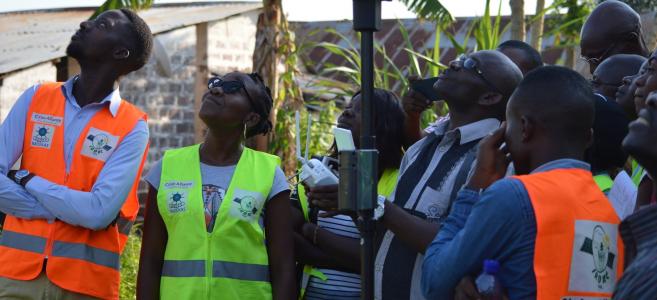
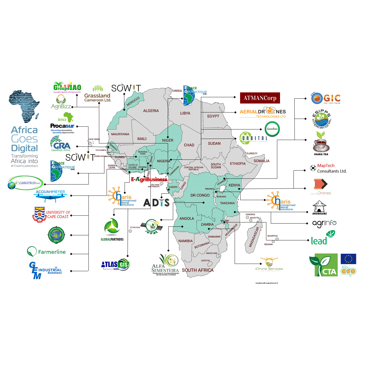
In Kasangulu, a small city of about 28,000 people in the outskirts of Kinshasa, the Drones for Land Clarification and the Empowerment of Women project is demonstrating how digital tools and participatory processes can help vulnerable communities formalise and protect their land and property rights, while reducing potential conflicts and modernising land governance systems. This is a pilot initiative conducted by IRDAC SARL, a local cartography group, member of Africa Goes Digital, with support from the Cities Alliance Innovation Programme.
The project was implemented in partnership with members of RADEKAS, a network of community-based development associations in Kasangulu. Despite its proximity to Kinshasa – a megacity of nearly 15 million people – Kasangulu is an agricultural community made up of mostly poor farmers. Many residents are women who are the main breadwinners for their large families. Land pressure in Kasangulu and other rural communities has been intensifying as the fast-growing capital of DRC expands.
Most residents of Kasangulu lack official property titles for their customary lands, a common situation in areas where less formal recordkeeping practices were used in the past. Many people are also unaware of the tenure insecurity risks they face without official title deeds. This leaves them especially vulnerable to conflicts and even the loss of their lands through land grabbing. At the same time, the DRC land registry systems have not been updated with the technology, tools, and data needed to clarify land ownership claims and issue official title documents.
The IRDAC pilot project helped the DRC land administration modernise its land management tools and establish a digital, automated cadastral database for Kasangulu. To do this, the pilot project trained a team of 31 people on how to use drones and topographical surveys to collect data. The participants included 14 young men and women from RADEKAS households, along with district land registry agents, and others.
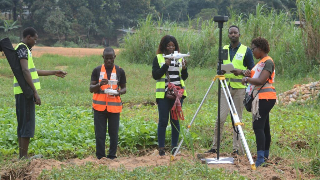
The project team accomplished the following:
- Created a complete land registry plan covering 622,000 ha in the Kasangulu districts of Ngambi, Luzamba, Manoka and Mvula Nene
- Extracted nearly 5,000 land plots from the drone’s aerial digital images
- Measured and demarcated a sample of 98 plots belonging to RADEKAS members on the registry plan
- Implemented a customised IRDAC smart filter app that extracts individual land data from the land registry database to be used for producing official land titles.
The new technologies, tools, and methods streamlined the process for gathering land information.
The drones facilitate the real-time collection and rapid updating of land data, compared with traditional methods.
Boniface Makando Ngu, Director of Land Affairs
Another goal of the project was to build capacity by creating spaces where people could meet to talk and share information. The project also brought together community members, customary leaders, business owners, and land authorities for a successful three-day dialogue to discuss land tenure insecurity and explore possible solutions.
The multi-stakeholder dialogue enabled me to meet and exchange views for the very first time with the Registrar of Real Estate Titles (CTI), the No. 1 land service in the Registration Division of Kasangulu.
Madiampamba | President of the customary chiefs of the Kasangulu territory
The IRDAC pilot project also aimed to increase awareness, especially among women, about the value and potential benefits of securing and formalising their property rights. Empowering women through secure land tenure can open up access to resources such as bank microcredits, which can then be used to begin small businesses. These businesses can bring in extra household income and reduce poverty, thus increasing economic resiliency.
The IRDAC project planned to highlight how women in Kasangulu had used their formal title deeds to obtain financing and launch small enterprises. However, the onset of the COVID-19 crisis limited these activities. Instead, the pilot project focused on helping women share stories about the impacts of the pandemic on their household livelihoods. This helped raise awareness of the importance of empowering women through secure land tenure. It also illustrated the benefits of land titles in inclusive development and underscored the need for vulnerable communities to formalise and protect their land and property rights.
Through our Innovation Programme, Cities Alliance has been supporting new methods for addressing land tenure security and other issues in fast-growing regions around the world.
This article was originally published by Cities Alliance
Download the project brief.
Download the full report in English (Drones for land clarification and the empowerment of women: Modernizing land governance in the Democratic Republic of the Congo) and / or French (Drones pour la clarification foncière et l’autonomisation des femmes : Moderniser la gouvernance foncière en République Démocratique du Congo).
