Tag: Metashape

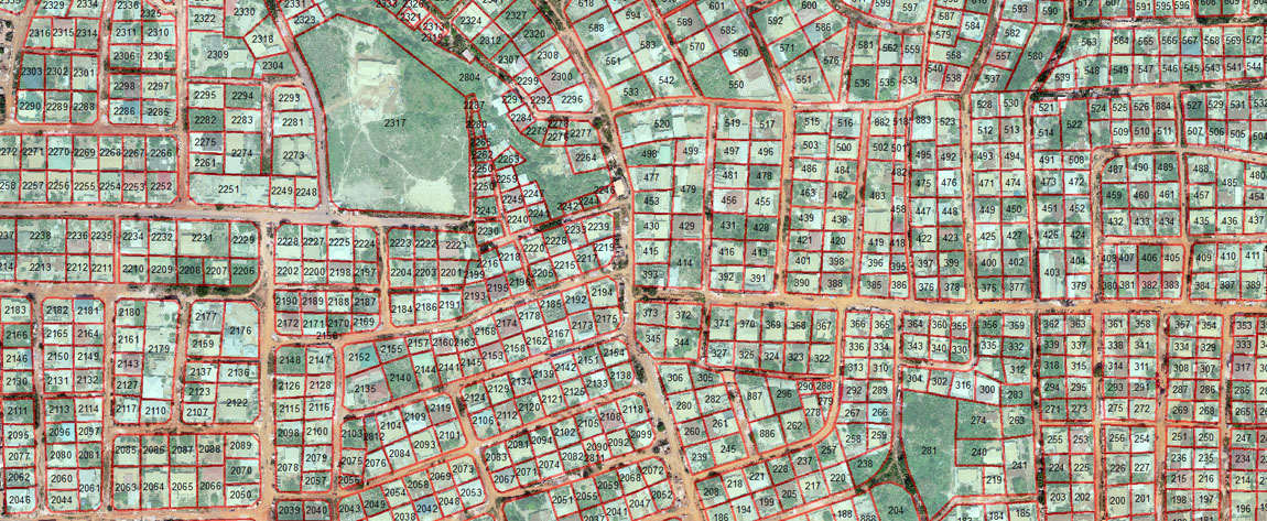
UAV (Drone) Photogrammetry and GIS for Property Tax Base Assessment
The Local Government System (LGA) in Ghana is premised on the idea that Metropolitan, Municipal and District Assemblies (MMDAs) acting as rating authorities at the grassroots level should be able to independently mobilise revenue to finance most of their developmental projects. As rating authorities, MMDAs have the legal mandate to collect […]
Tags: dronesGhanaGISMetashapephotogrammetryproperty taxtaxation


