Tag: GIS

Beyond the Plan: Tapping the Potential of Drones for Urban Development
As urban areas continue to expand, with larger sizes and occupation densities, there is a need for local governments to ensure an orderly development process and manage the physical space and the environment. This entails the preparation and implementation of different types of development plans. While these are necessary to […]
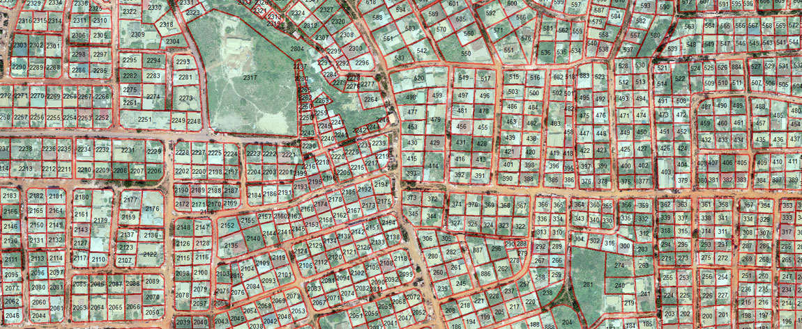
UAV (Drone) Photogrammetry and GIS for Property Tax Base Assessment
The Local Government System (LGA) in Ghana is premised on the idea that Metropolitan, Municipal and District Assemblies (MMDAs) acting as rating authorities at the grassroots level should be able to independently mobilise revenue to finance most of their developmental projects. As rating authorities, MMDAs have the legal mandate to collect […]
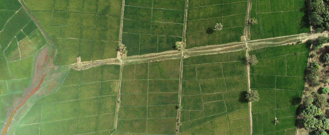
Using satellite Imagery and GPS for Resettlement Action Plan in Kano, Nigeria
To help prepare a resettlement action plan, Geospatial Research Limited mapped farm plots, households and economic tree crops using GPS and satellite imagery in Kano State, Nigeria. For the first time in history, farmers in these areas saw the full size of their farms, something that allows them to access […]