Tag: orthomosaic maps
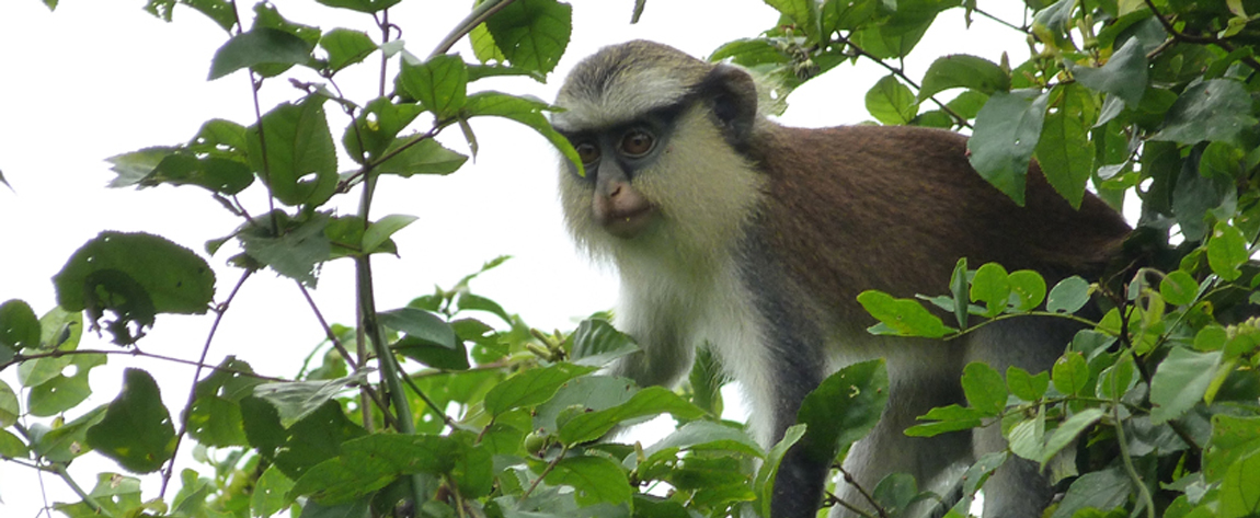
Unmanned aerial vehicles and protected wetland areas: Testing the use of drones for mapping and ecological monitoring of the Mono Delta Transboundary Biosphere Reserve in West Africa
In West Africa, a project has tested the use of unmanned aerial vehicles in producing accurate maps and providing ecological monitoring data of protected sites and habitats in wetlands. The drone-based technology was found to be more cost-effective and user friendly than more traditional satellite-based remote sensing and was able […]