Tag: DJI
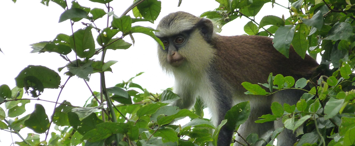
Unmanned aerial vehicles and protected wetland areas: Testing the use of drones for mapping and ecological monitoring of the Mono Delta Transboundary Biosphere Reserve in West Africa
In West Africa, a project has tested the use of unmanned aerial vehicles in producing accurate maps and providing ecological monitoring data of protected sites and habitats in wetlands. The drone-based technology was found to be more cost-effective and user friendly than more traditional satellite-based remote sensing and was able […]
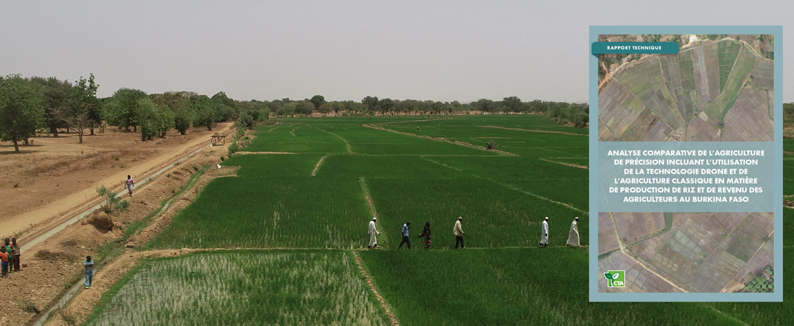
L’utilisation des drones permet aux petits producteurs d’augmenter la rentabilité du riz irrigué au Burkina Faso
Au Burkina Faso, un projet de recherche conduit en 2019 par l’Institut de l’Environnement et de Recherches Agricoles (INERA) en partenariat avec Espace Géomatique SARL, un cabinet spécialisé dans la géomatique et l’utilisation des drones agricoles, a démontré que l’utilisation des drones représente effectivement pour des petits agriculteurs un système […]