Tag: profiling
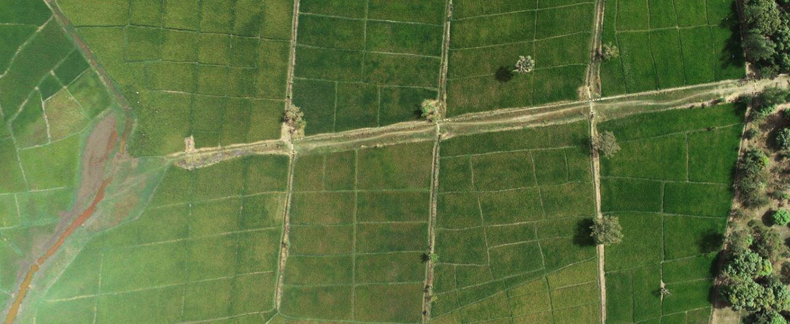
Using satellite Imagery and GPS for Resettlement Action Plan in Kano, Nigeria
To help prepare a resettlement action plan, Geospatial Research Limited mapped farm plots, households and economic tree crops using GPS and satellite imagery in Kano State, Nigeria. For the first time in history, farmers in these areas saw the full size of their farms, something that allows them to access […]